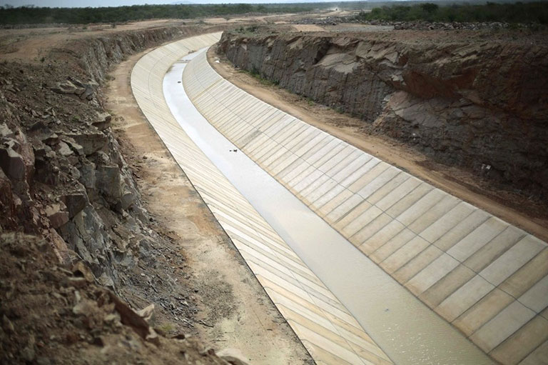
Water

We specialize in using advanced geospatial data to analyse and design of dams, water supply pipelines & open channels. We have in-house production teams and can deliver the following outputs:

Irrigation Pipe Network & Open Channel Design

  • Cost-effective Pipeline alignment
  • Hydraulic and Structural Design of Pipe Network
  • Geometrical Design of Open Channel
  • Cut and Fill Volume estimation
  • BOQ of Earthwork and Machinery
  • Khasra Map Overlay on Ortho
  • Generation of Cross-section and Longitudinal Sections
  • Detailed Project Report

Watershed Management

  • Watershed Delineation
  • Determination of morphological parameters
  • Determination of position of dam
  • Determination of reservoir capacity
  • Dam stability analysis and design

Flood Modelling and Flood Forecasting

  • Drainage Study
  • Flood risk and Runoff calculation
  • Calculation of Rainfall Intensities and Return Period